Related Topics
No topics are associated with this blog
Creating a Google Map from modern photos, those with GPS coordinates embedded
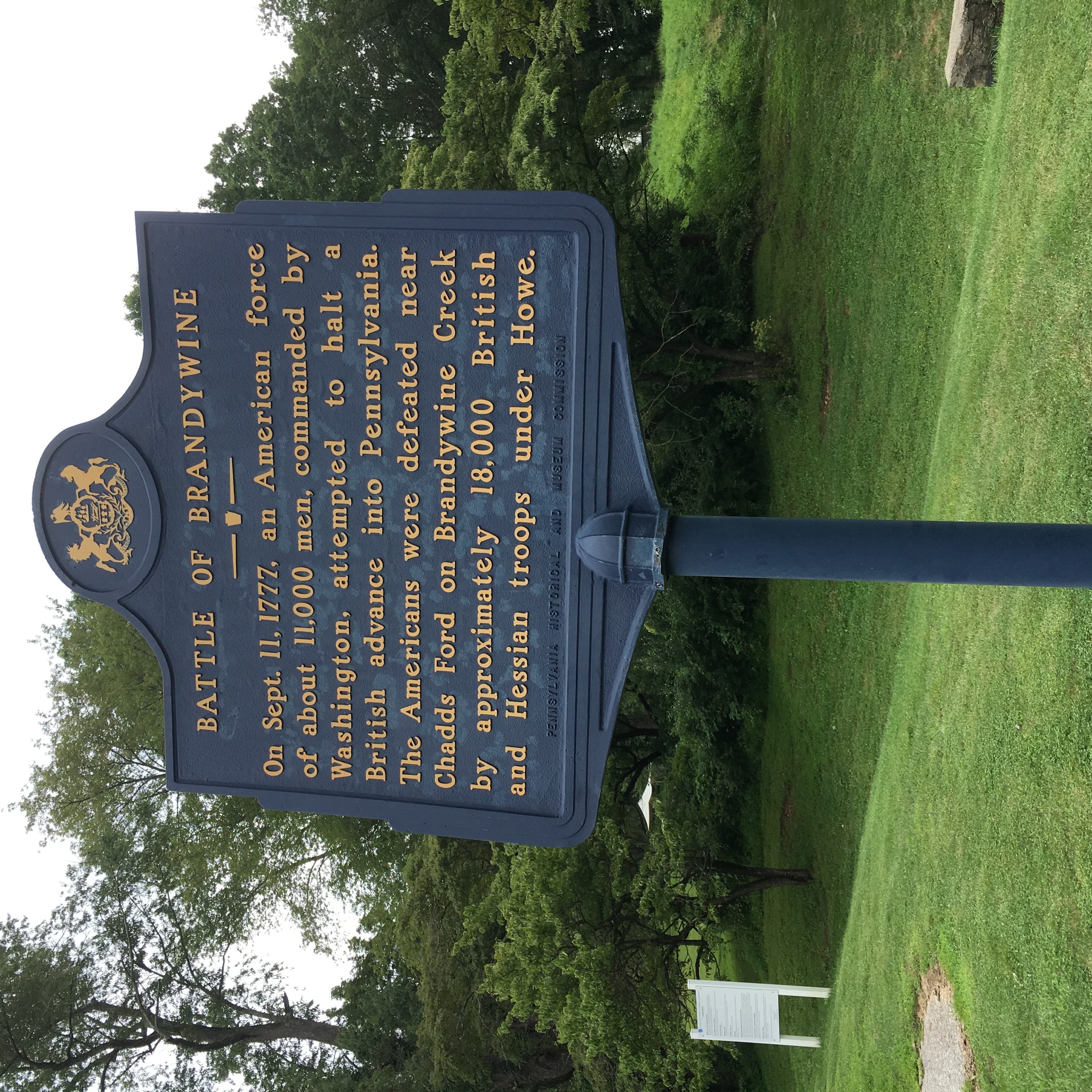
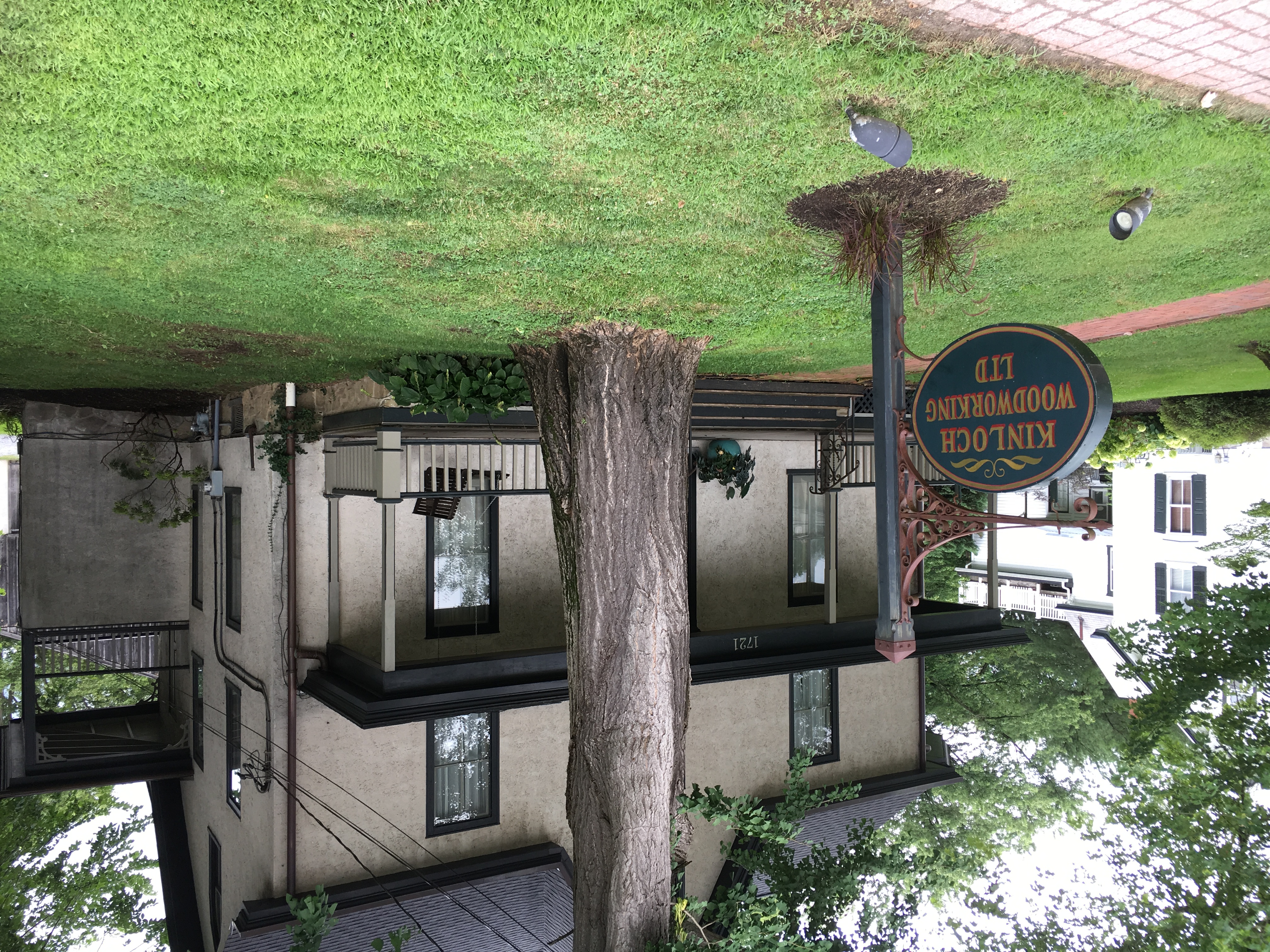
This blog contains three photos, two of which have GPS coordinates.
The photos with GPS coordinates are marked on the map; Click on the marker to see
- the file name of the photo
- and the address.
The map is centered on the average of the GPS coordinates, so if the positions are far apart you may not see any of the markers without manually zooming out
The orientation of the photos is the photographer's problem: with old-style cameras, it was obvious how to hold the camera to get the correct orientation; with an iPhone, you can hold it any which way and you can see the results. But be careful about editing a picture: you may lose the GPS data.
Supposedly, along with GPS data, suggested orientation data is also embedded but I haven't figured out how to use it.

Originally published: Thursday, July 25, 2019; most-recently modified: Thursday, August 08, 2019